Gustav wind and flood damage
18 Jun 2014
 562 628 1675
  01483 400690
18 Jun 2014
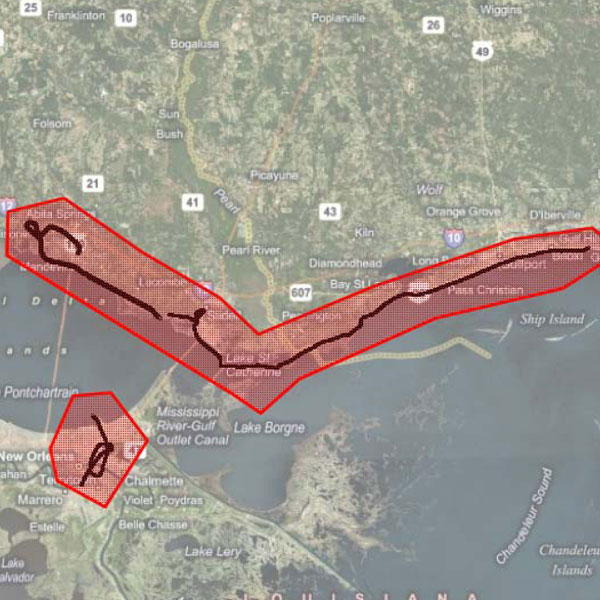
Wind and flood damage. Aerial 3000+ Hi def images and GPS-photo trail Shapefile/KML.
Date: 2008
Area: New Orleans approximately 10,000 buildings including residential, Highway sections around I-10 and I-90 intersection, bridges, coastal factories, industrial complexes, New Orleans Lakefront Airport; 1,000 buildings in Mandeville area (Residential canals), 2,500 buildings along the Gulf coast (Residential canals, hotels and factories)
Data source: ecityrisk | ImageCat
Samples:
Sample PDF download (160kb)
Sample JPGs download (5.9mb)
Contact us to buy this dataset


Assess your full range of seismic risk and uncertainties with our SeismiCat model and Robust Simulation.
Find out more...