 562 628 1675
ImageCat attended Dartmouth Flood Observatory Workshop at the University of Colorado, Boulder, Sep. 10-11, 2019
13 Sep 2019

Ron Eguchi (CEO) and Shubharoop Ghosh (VP of Data Services) attended a workshop organized by Remote Sensing Solutions, Inc. (RSS) and the Dartmouth Flood Observatory (DFO) at the University of Colorado, Boulder on Sep 10-11, 2019. The workshop brought together experts from various disciplines and focused on flood hazard data and information for disaster response. The goal of the workshop was to obtain feedback from the experts and end user communities on a global flood web map services from the DFO, a mobile app serving the flood maps. The organizers also sought input on next steps for development and commercialization. The project is currently in Phase II of a NASA SBIR program. The mobile app was developed by a consortium of researchers led by Remote Sensing Solutions and includes Dartmouth Flood Observatory and Aquaveo. Participants at the workshop were from non-profit, academic, public and private sectors and included technical and GIS operations persons from the UN World Food Programme, African Risk Capacity, Luxembourg Institute of Science and Technology (LIST), State of Louisiana Department of Transportation and Development, JPL, NASA, Columbia University/Red Cross Red Crescent Climate Centre, Louisiana State University, Storm Center Communications and ImageCat. The workshop involved a demonstration of the app, hands on session of the DFO Web Map Services, presentations by various participants on use cases and potential areas of applications. Several sessions of the workshop involved discussions on the usefulness and potential applications of the flood data layers, funding mechanisms and sustainability beyond the SBIR Phase II. Follow up and collaboration activities will be planned by the consortium members in the next several weeks.
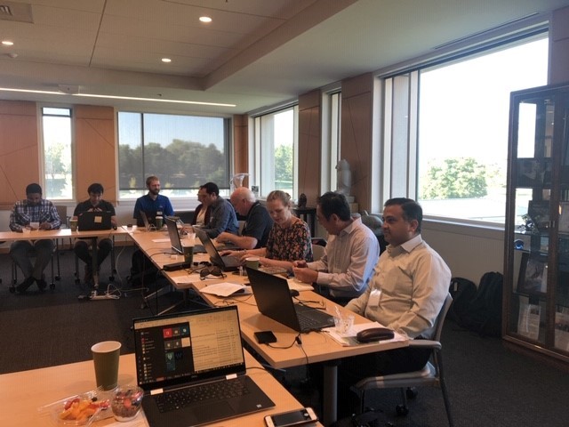
Figure 1. Meeting participants at the DFO Boulder workshop

